Course review: GIS & RS
Learn about Geographic Information System (GIS) and Remote Sensing (RS) in this course with a subject matter expert.
The course that I will be talking about is Geographic Information System (GIS) and Remote Sensing (RS) that I undertook on the Class Central’s online platform that has impacted greatly on my understanding on various fields where the tool is applicable.
Why I took the GIS & RS course
What made me choose the course is my enthusiasm to pursue and have a deeper understanding of GIS and RS after being a trainee and a trainer at Kenyatta University Geographic Information System Club (KUGISC) in Kenya, where I was first introduced to the topic. GIS is a tool not only for solving the 21st century environmental issues but also providing a means in which the same data can be presented for easier explanation and understanding of the status quo. The main challenge that staged me to Class Central is that I was trying to search the best possible tutor in order to understand deeper how to calculate Accuracy Assessment of Image Classification, little did I knew I was immersing myself to a platform where I would drink and dip myself to body of knowledge and emerge with more skills than I thought. I am an environmentalist and besides that I want to become a Geospatial and Remote Sensing specialist, and use the skills and knowledge to solve environmental issues.
The course format
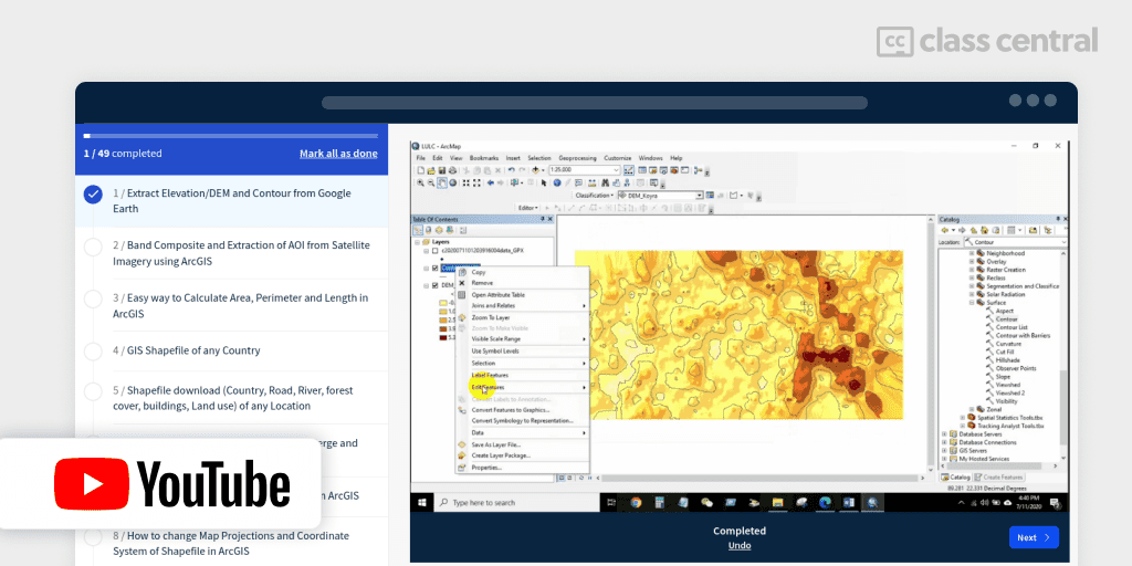
The course is composed of tutorials that range from simple to complex with a very concise and appealing language coupled with a very competent professor (Md. Shafiqul Islam) who guide and assist you accordingly. I dearly appreciate the chronological layouts of classes; you cannot skip a class and head on to the next since the succeeding class might code and refer to the skill learnt from the previous class. The class has deepened and sharpened my knowledge from the first-class “Extract Elevation/DEM and Contour from Google Earth” up to the last class “Topographic wetness index (TWI) in ArcGIS”.
Lecturer
The capacity and capability of the student greatly infers and reflects his/ her tutor. Professor Md. Shafiqul Islam has a mastery of content, proficiency, concise, professional guidance, accuracy of the content and efficient on his lectures, makes him a subject matter expert in this topic. My capacity and capabilities on ArcGIS and QGIS have been greatly impacted by the Professor. I’m very grateful and greatly indebted, may God bless the professor abundantly!
My Skills and background
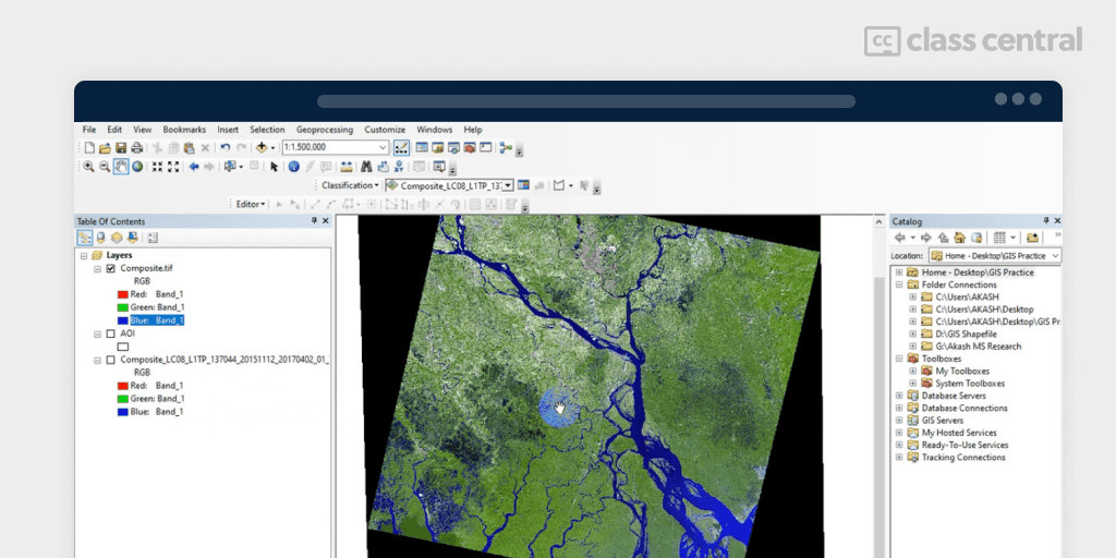
I am a graduate from Kenyatta University (KU), Kenya. I joined the institution in 2016 and undertook a Bachelor in Environmental Studies and Community Development. I joined Kenyatta University Geographic Information System Club (KUGISC) in 2017 and from then I have been a trainer and trainee from different topics and sub-topics pertaining Gis and RS. Just to mention a few: introduction to Arc GIS interface to new members, landcover classification (supervised and unsupervised), calculation of NDVI, NDBI and NDWI, band composite and extraction of Area of Interest (AOI) and Accuracy assessment. My commitments to the club drew the attention of everyone and this had an impact: I was elected the deputy of legal affairs of the club, a position that I have served with much dedication, that has seen me grow and glow my leadership, interpersonal and communication skills.
ArcGIS has got diverse tools and it requires time to learn and understand. By then, I did not have much skills and exposure as I am to GIS and RS and after joining, I have been able to learn even deeper as far as Arc GIS interface and tools are concerned. I have been able to go through all the classes and that my capacity and capabilities are incomparable as of before.
Identification of groundwater potential zones and flood susceptibility mapping are topics that I found interesting and amazing. Putting into consideration that climate change impacts are inevitable, including drought and flooding, the tool poses a coping adaptation mechanism that will help identify groundwater potential zones to supplement agricultural production through irrigation and as well provide insightful information on flood zone areas that will assist in taking precautionary measures to avoid loss of lives and destruction of property.
How to achieve success
Apart from having a laptop, strong network coverage, ArcGIS, QGIS and Google Earth Pro softwares, determination and commitment are key prerequisites that enhanced my successful accomplishment of GIS and RS class.
The Course
The follow ups from the first day with total commitment, dedication and empirical practice over the content on my laptop gave me a top-notch understanding. Of course, there is always a time when you are lost and you need dire assistance from someone to guide you to overcome technical hitch. Professor Md. Shafiqul Islam was always at my palm for my assistance, though there were no grading questions or certificate, I had always framed questions that align on my experience on the Class Central tutorial to enhance and motivate my learning and understanding. I would recommend the executive to have a certificate so as to leave imprints and evidence over your competence over the same.
Time Commitment
It took me roughly two weeks to finish up the course. I assigned myself 3 hours a day since it is a self-paced course, one hour for learning through the Class Central platform and two hours for practicing what I have learnt. It is quite true that the overall syllabus is explicitly as suggested.
Conclusion
I successfully completed the GIS & RS course and I would say it was an excellent course that has enhanced my understanding of GIS. Weighing up the facts I would refer any beginner or anyone willing to sharpen his/her GIS skills and who wants to get hands on understanding the GIS and RS tool to go for this course, it gives a very good foundation.
What is Next?
Since I am anticipating to be like my professor and become a guru on the GIS and RS am looking forward to commence on Fundamentals of GIS course, Introduction to GIS Mapping and Spatial Analysis and Satellite Imagery in a GIS in order to enhance deeper in my understanding before I embark on my Master program on hydrology of which I believe GIS and RS will play an important role.